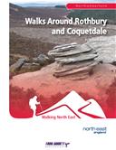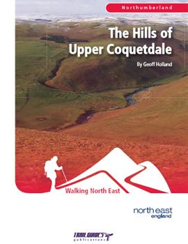
About the Guide
By Geoff Holland.
The second edition of this popular book is now available. With a revised layout and even more photos to help guide the walker this publication has now been expanded to 104 pages.
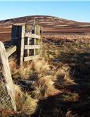
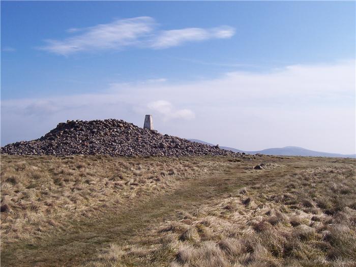
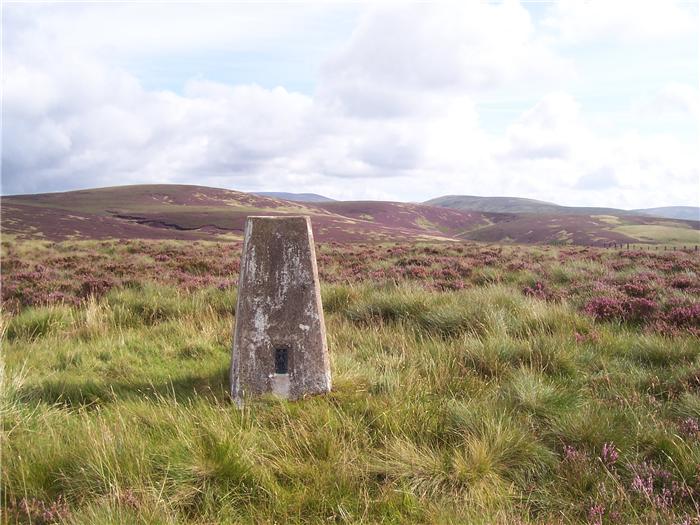
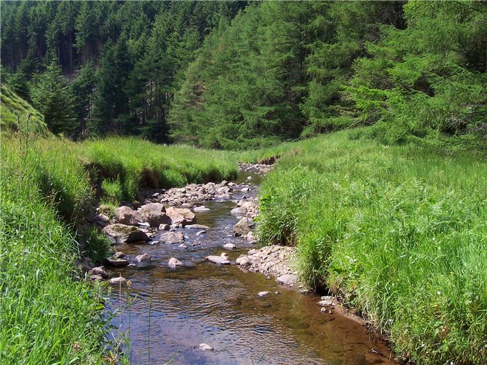
The River Coquet rises on the remote upper slopes of Brownhart Law, close to the Roman military complex of Chew Green, and for the first 10 miles of a long and wayward journey to the North Sea this magnificent river rubs shoulders with some of the finest hills in Northumberland. Here, seemingly light years from the stresses and strains of 21st century life, the "Hills of Upper Coquetdale" offer walking of the highest quality.
Written by the author of two previous books of walks, "The Cheviot Hills" and "Walks from Wooler", this latest book contains eight totally new self-guided walks with detailed, easy to follow route descriptions and a rucksack full of fascinating information about the area. This is a unique collection of walks in the most tranquil corner of England.
The Walks
WALK 1: THE COQUET HEAD HORSESHOE
In this walk you explore the remote, wild landscape around the head of the Coquet where the land reverberates to the sound of history.
DISTANCE: 8.5 miles (13.7 km) ASCENT: 948 feet (289 metres)
START: Car park 3/4 mile beyond Makendon (GR NT794085)
TERRAIN: Mainly fell, rough and pathless in places, with some stretches of potentially wet and boggy paths and tracks.
FGS Grading F8 [ D1, N2, T2, R2, H1]
WALK 2: THE BARROWBURN CIRCUIT
This walk takes you on a switchback journey from the River Coquet at Barrowburn to the delightful valley of the Usway Burn and back again.
DISTANCE: 11 miles (17.7 km) ASCENT: 2,428 feet (740 metres)
START: NNP car park at Wedder Leap near Barrowburn (GR NT866104)
TERRAIN: Mixed fell, occasionally boggy and rough, with some good, green paths and tracks. Two stretches of gravel track.
FGS Grading F9 [ D1, N2, T2, R2, H2]
WALK 3: THE ALWINTON HILLS
The green rolling hills that lie within kissing distance of the sleepy village of Alwinton are not particularly big hills and, consequently, these are often given the cold-shoulder by walkers attracted to their larger siblings.
DISTANCE: 11.25 miles (18.1 km) ASCENT: 2,670 feet (814 metres)
START: Near Shillmoor (GR NT884078)
TERRAIN: A mixture of paths and tracks, occasionally boggy, with some stretches of pathless grassland.
FGS Grading F9 [ D1, N2, T2, R2, H2]
WALK 4: BEYOND THE WATERSHED
This walk lies on the extreme northern boundary of the "Hills of Upper Coquetdale". It is a walk on the wild side.
DISTANCE: 9.75 miles (15.7 km) ASCENT: 1,450 feet (442 metres)
START: Slymefoot (White Bridge) (GR NT859114)
TERRAIN: A mixture of paths and tracks, some boggy, with a rough and pathless ascent and descent.
FGS Grading F9 [ D1, N2, T2, R2, H2]
WALK 5: BUCKHAM'S BRIDGE & BEYOND
As you tramp along the English/Scottish border it is difficult not to feel totally alone. This is the edge of Northumberland, literally miles from anywhere, where the solitary walker inhabits a peaceful and "off-the-beaten-track" world.
DISTANCE: 8.5 miles (13.7 km) ASCENT: 1,280 feet (390 metres)
START: Buckham's Bridge (GR NT824107)
TERRAIN: A mixture of both clear and indistinct paths and tracks, with some pathless sections. Generally rough and potentially very wet underfoot.
FGS Grading F9 [ D1, N2, T2, R2, H2]
WALK 6: LAWS, HILLS & A GYLE
This is an exquisite walk for the discerning rambler.
DISTANCE: 8.5 miles (13.7 km) ASCENT: 1,598 feet (487 metres)
START: Windyhaugh (GR NT866109)
TERRAIN: Mixed fell, sometimes rough and pathless, otherwise reasonably good tracks, paths and a stretch of tarmac.
FGS Grading F9 [ D1, N2, T2, R2, H2]
WALK 7: THE MONARCH OF KIDLAND
This walk takes you on a journey along the eastern fringe of the vast green Kidland Forest. It is a walk of striking contrasts.
DISTANCE: 12 miles (19.3 km) ASCENT: 2,231 feet (680 metres)
START: NNP car park, Alwinton (GR NT919063)
TERRAIN: Mixed fell, rough and potentially boggy in places, with some good paths and long stretches of forest track.
FGS Grading F9 [ D1, N2, T2, R2, H2]
WALK 8: THE BIDDLESTONE BOUNDS
This walk introduces you to some of the elevated delights of the parish of Biddlestone. It is a deluxe journey of sweeping views and empty vistas.
DISTANCE: 8.5 miles (13.7 km) ASCENT: 1,509 feet (460 metres)
START: Alongside the road to Clennell Hall, Alwinton (GR NT925062)
TERRAIN: Mixed grassland with a number of good green tracks and paths. Some pathless terrain and short stretches of tarmac.
FGS Grading F9 [ D1, N2, T2, R2, H2]