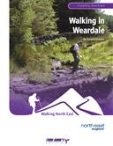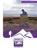
About the Guide
96 page, full colour A5 booklet describing eight walks across the valley and moors of Weardale, starting and finishing from Stanhope.
By Keven Shevels.
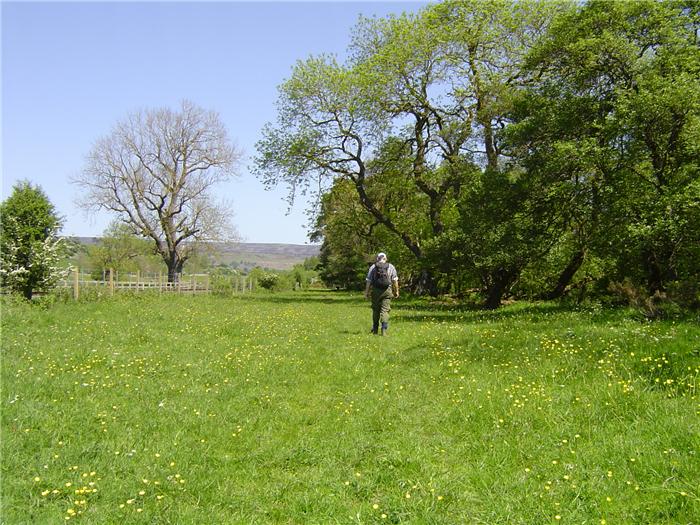
Stanhope sits at the point where the Stanhope Burn joins the River Wear and from which it gets its name "Stoney Valley". This collection of eight new walks explores the countryside and history of this part of Weardale delving into both the prehistoric and more recent past. Traversing the valley floor and the high and low moors that surround the town these walks take a trip into a landscape heavily influenced by man.
The Walks
WALK 1: CROW COAL HILL
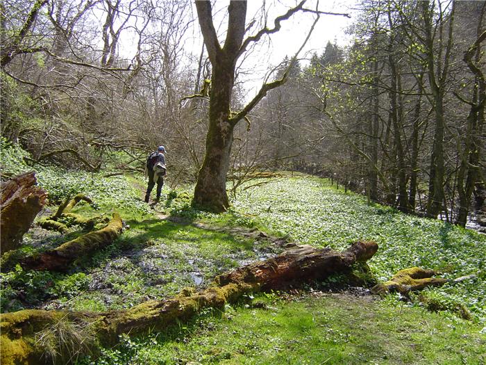
A varied walk that explores the moors that lie to the north west of Stanhope and on the way discovers a hidden rhododendron plantation, prehistoric history and the remains of a coal mining past.
DISTANCE: 9.3 miles (14.9 km) ASCENT: 1,142 feet (348 metres)
START: Stanhope Market Place (GR NY 996 391)
TERRAIN: A mixture of woodland paths and moorland track coupled with a lengthy stretch across pathless open moor.
FGS Grading F8 [ D1, N2, T2, R2, H1]
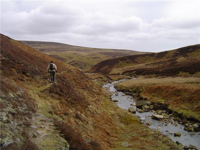
WALK 2: COLLIER LAW AND THE STANHOPE BURN
A high moorland walk that follows paths and tracks to the summit of Collier Law before following the banks of the Stanhope Burn back to the finish of the walk.
DISTANCE: 9 miles (14.5 km) ASCENT: 1,201 feet (366 metres)
START: Stanhope Market Place (GR NY 996 391)
TERRAIN: A mixture of moorland track and path with a lengthy stretch across tussocky open moor complete with boggy bits to get the feet wet.
FGS Grading F9 [ D1, N2, T2, R2, H2]
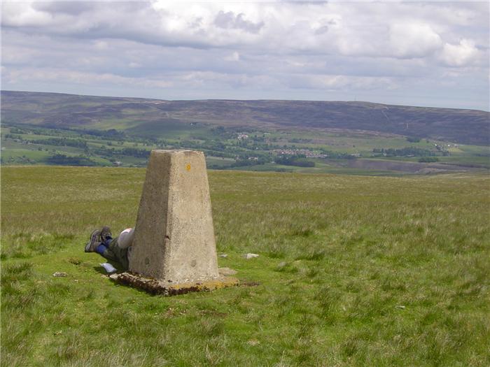
WALK 3: CARRS TOP
An exceptional walk dominated by the views from the trig point on Carrs Top. On a warm sunny day with good visibility this hill can give some of the best views in the Durham Dales.
DISTANCE: 9.9 miles (15.8 km) ASCENT: 1,634 feet (498 metres)
START: Stanhope Market Place (GR NY 996 391)
TERRAIN: Once on the moor it is relatively pathless walking although there are one or two quad bike tracks that ease the walking slightly.
FGS Grading F9 [ D1, N2, T2, R2, H2]
WALK 4: FATHERLEY HILL
A walk that climbs the hills to the east of Stanhope and follows the ridgeline between Stanhope and Wolsingham.
DISTANCE: 6.3 miles (10.1 km) ASCENT: 1,178 feet (359 metres)
START: Stanhope Market Place (GR NY 996 391)
TERRAIN: Field paths to the open moor but once on the moor the route follows quad and vehicle tracks with a short stretch over boggy path.
FGS Grading F7 [ D1, N1, T1, R2, H2]
WALK 5: EASTGATE CIRCULAR
A shorter and more of a lower level walk through the fields along the side of the valley to Eastgate and back along the banks of the River Wear. For those who want to add on an extra couple of miles there is an option of adding in an additional loop following the Rookhope Burn.
DISTANCE: 5.9 miles (9.5 km) ASCENT: 371 feet (113 metres)
START: Stanhope Market Place (GR NY 996 391)
TERRAIN: The majority of this walk is on field paths some of which is over rought pasture. There are one or two short stretches of road walking.
FGS Grading F3 [ D0, N1, T0, R1, H1]
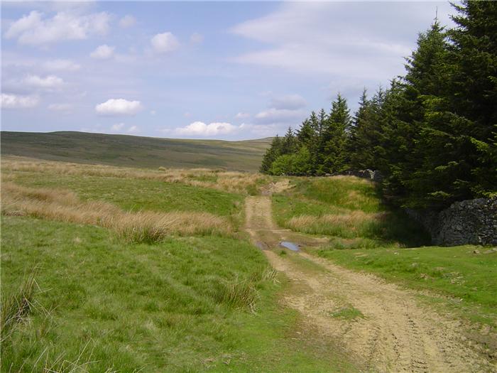
WALK 6: A WALK ROUND THE PARK
This route takes a walk round the outside of the Park Plantation, across the Stanhope Burn and up and along the edge of the moors above Crawley and Stanhope.
DISTANCE: 6.9 miles (11.1 km) ASCENT: 1,004 feet (306 metres)
START: Stanhope Market Place (GR NY 996 391)
TERRAIN: After a short road walk the majority of this walk is on moorland path.
FGS Grading F6 [ D1, N1, T1, R1, H2]
WALK 7: FROSTERLEY CIRCUIT
A shorter walk that takes a circular route along the edge of the moors and fields on the north side of the river to Frosterley and then returns on the south side skirting the hillside of Catterick.
DISTANCE: 7.6 miles (12.2 km) ASCENT: 1,555 feet (474 metres)
START: Stanhope Market Place (GR NY 996 391)
TERRAIN: Most of the walk is over rough pasture whether it is on the edge of the moors or in the fields although a rough track is followed over the edge of the moors leading from Hill End.
FGS Grading F8 [ D1, N2, T2, R1, H2]
WALK 8: ROOKHOPE CIRCULAR
A longer walk using the little-used estate track to cross the moors betwwen Stanhope and the Rookhope Valley.
DISTANCE: 12.6 miles (20.2 km) ASCENT: 1,362 feet (415 metres)
START: Stanhope Market Place (GR NY 996 391)
TERRAIN: A mix ranging from moorland path and track in the first half of the walk to field and woodland paths in the later stages including a short stretch of road walking when leaving Rookhope.
FGS Grading F6 [ D2, N1, T1, R1, H1]